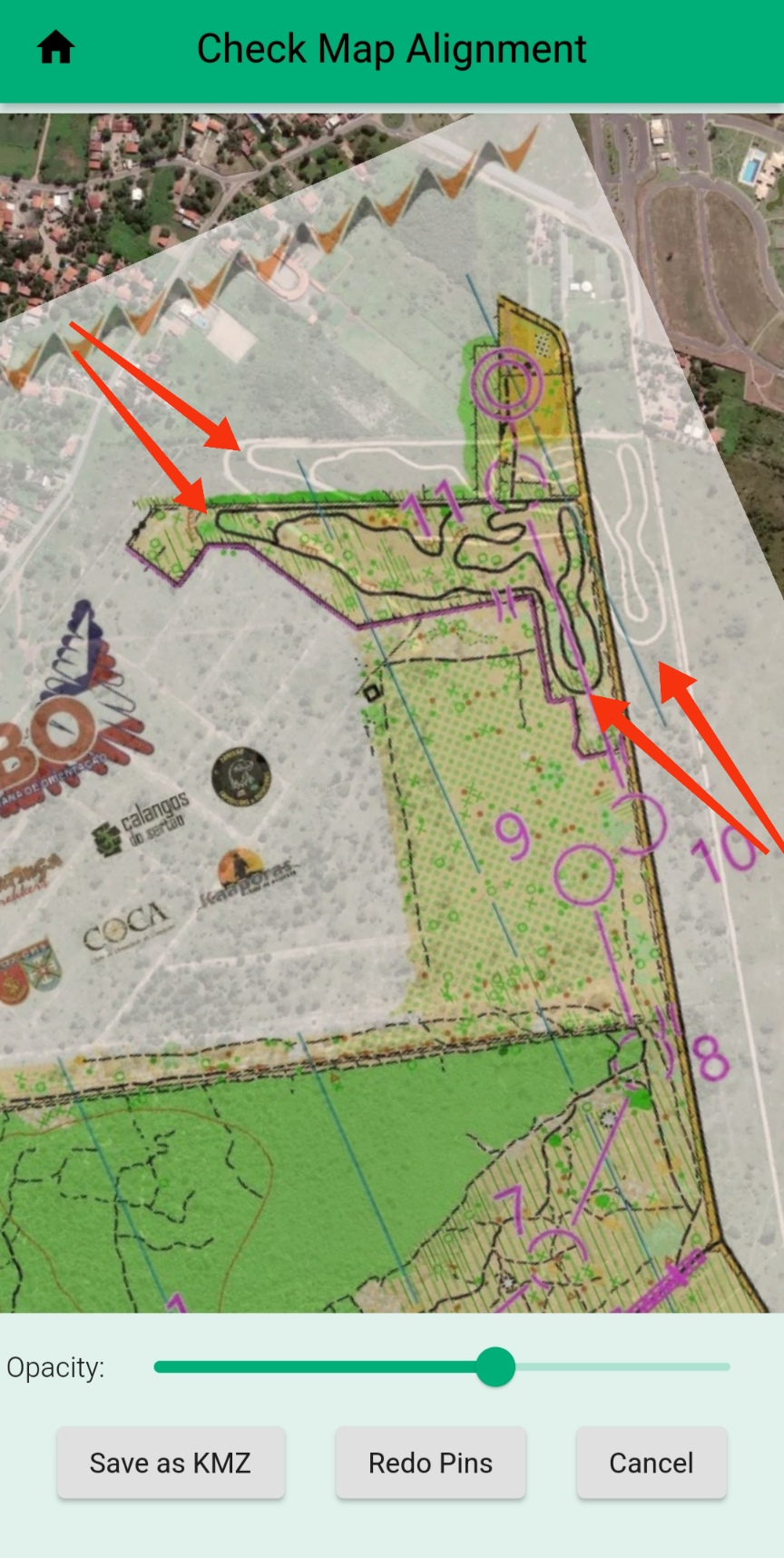
Kmz map misaligned

classic Classic list List threaded Threaded
9 messages Options
Reply | Threaded
Open this post in threaded view
|

Kmz map misaligned

Juliano.Oliveira
Hello,

 I'm trying to put a map in the app.  I choose the map image, select the 2 pins correctly and the map is misaligned as shown in the attached photo.  What could I be doing wrong?
Reply | Threaded
Open this post in threaded view
|

Re: Kmz map misaligned

Peter Effeney
Administrator
Juliano,

Maybe try this on your computer using the similar function in a Web browser at: https://console.maprun.net/#/kmz_create
Most people find this version easier as the larger screen size allows for better placement of pins.

Try to put the pins well apart and near diagonal corners.

Sometimes it takes a bit of "trial and error", and it does assume that the image of the map has a consistent scale and correct relative placement of features.

Peter

Reply | Threaded
Open this post in threaded view
|

Re: Kmz map misaligned

Juliano.Oliveira
Unfortunately I didn't make it.  I tried several times, using diagonals, projecting possible alignment points and nothing.  It's a shame not to be able to insert maps so that athletes can use the tracks we have mapped here.  I will keep an eye on future updates of the application to see if I can insert it in one of them.  Thanks for the answer.
Reply | Threaded
Open this post in threaded view
|

Re: Kmz map misaligned

Peter Effeney
Administrator
As far as I am aware the function is working for others.

If you like you can send me the image file and I can see if there is something unusual going on. Or send you back a kmz.

The support email is support@maprun.net

Peter
Reply | Threaded
Open this post in threaded view
|

Re: Kmz map misaligned

Juliano.Oliveira
In reply to this post by Juliano.Oliveira
I sent the information to the email provided.
Reply | Threaded
Open this post in threaded view
|

Re: Kmz map misaligned

Juliano.Oliveira
In reply to this post by Peter Effeney
I think there should be 3 or 4 pins instead of just 2.
Reply | Threaded
Open this post in threaded view
|

Re: Kmz map misaligned

MichaelRaz
This post was updated on .
I've been doing this (trying to georeference images maps) for many years for use with RouteGadget and I can say that some maps, especially older ones not developed with LIDAR, are often so skewed, stretched or just inaccurate.  This often has no impact on normal orienteering but make georeferencing a big challenge and not something that can be handled automatically with even 3 or 4 points.  

One suggestion is to use GoogleEarth directly.  Add the map image as an image overlay and then you can adjust it in all different ways and try to get it as close as you can to match than save as a KMZ by stretching, rotating, skewing over and over again.  I'll promise you that this is an art more than a science!  

It may also give you an idea if the issue is with the image or the application.

The other thing to consider with respect to MapRun, depending on your goal, the KMZ does not really need to be that accurate as the controls KML location are what matters and, especially if you are actually using paper maps to do the orienteering, it may not be that important if the KMZ is a bit off.  This goes along with the principal that mappers may actually adjust things slightly on the map to map them clearer - KML control geo-location is what counts.

Although I'm basing this on the assumption that there are no issues with the application, it all still applies if Peter finds an issue - just not be applicable in this case.
Reply | Threaded
Open this post in threaded view
|

Re: Kmz map misaligned

Juliano.Oliveira
Thanks Michael. I will do tests using Google Earth to create the KMZs. His explanations were extremely valid.
Reply | Threaded
Open this post in threaded view
|

Re: Kmz map misaligned

Peter Effeney
Administrator
In reply to this post by Juliano.Oliveira
I've sent you a KMZ file.

Thanks to Michael for his comments.

This method of creating a KMZ file is quite simplified, and is really just for informal use.

We are assuming you have permissions to the Map, so the best, by far, is to have the mapper export a KMZ from OCAD for you.

I suspect that the approximations in the 2-pin algorithm are not working well for your combination of Lat/Lng and image size or rotation.

If you want a true multi-point "affine" function, you will find that in commercial software such as OCAD. I believe some GIS packages will also do that.

Thanks also to Michael for mentioning the capability of Google Earth to drag, rotate, stretch the image to fit.

Remember, that the accuracy of the map has no affect on punching controls in MapRun... It is simply the accuracy of the lat/lng of the controls that matters. Also runner's normally run with a printed map.


Peter